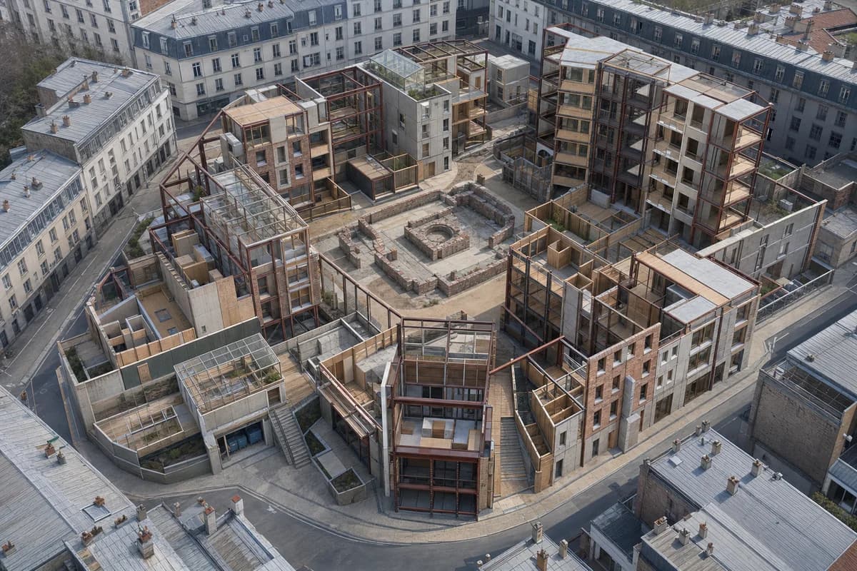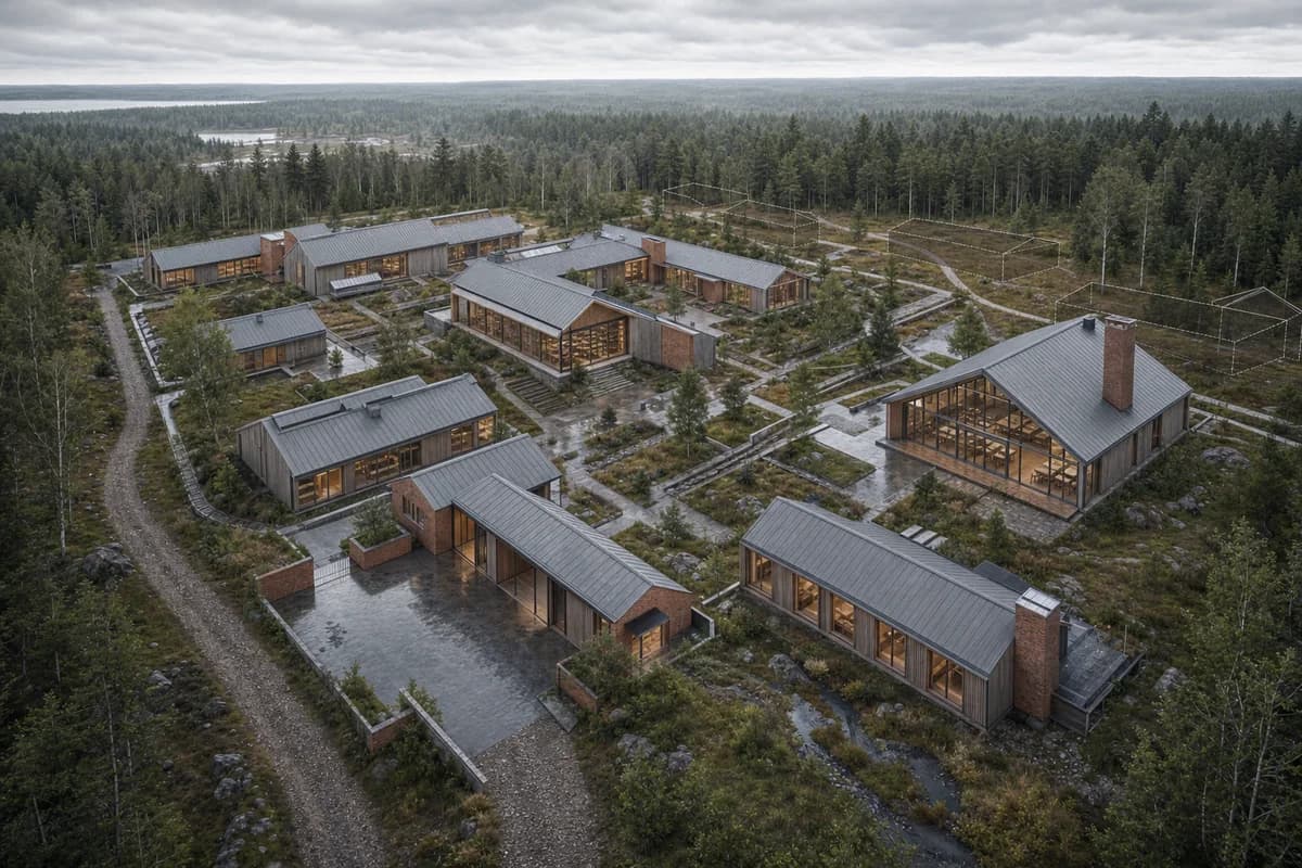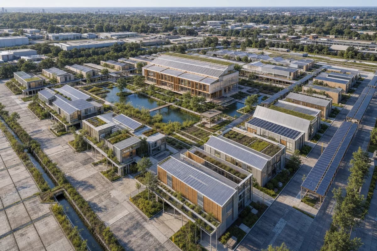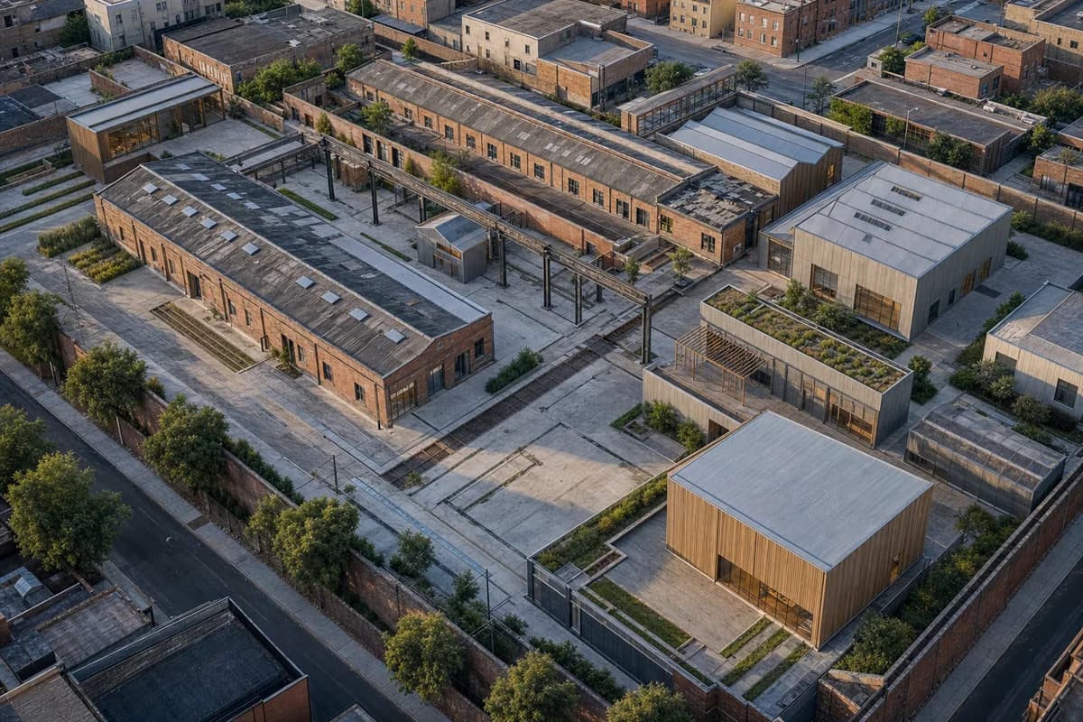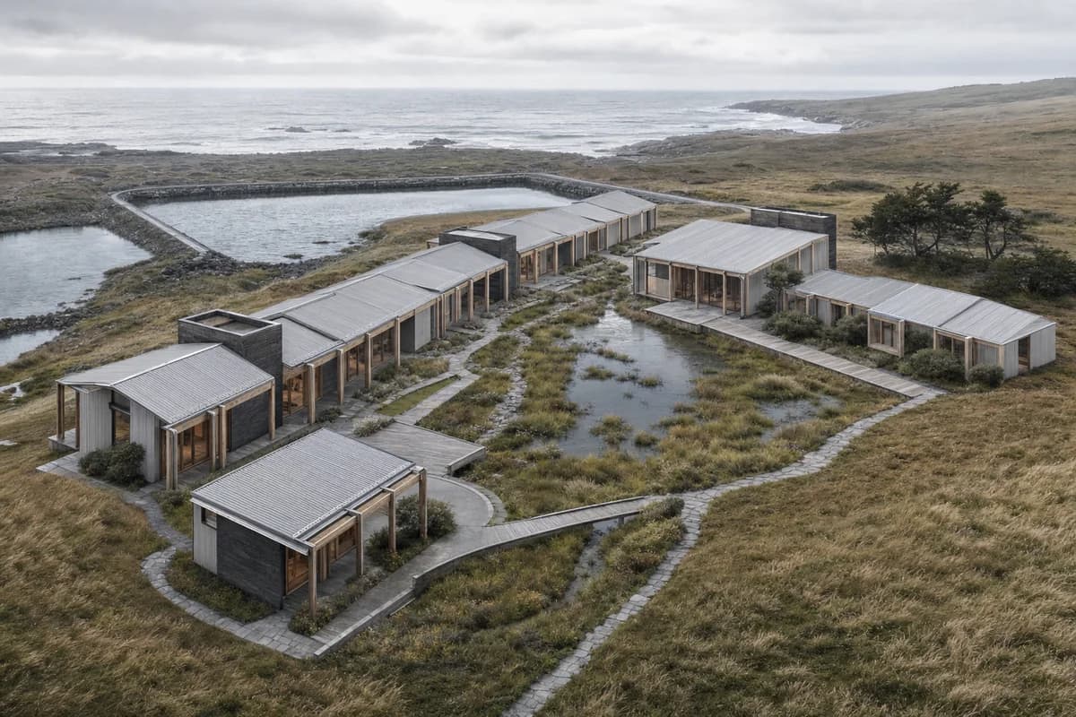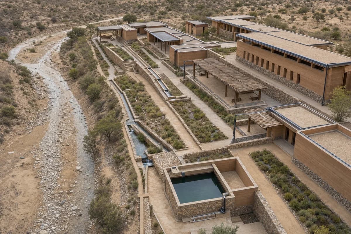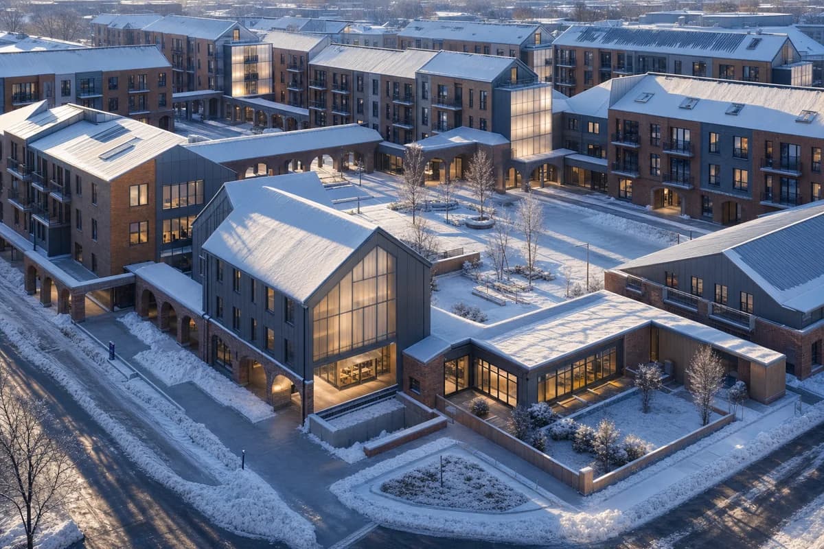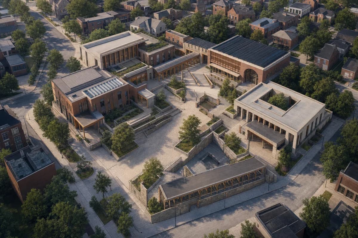
Connected Civic Quarter Aerial
Public consultation image for civic connections, accessibility, and shared open space.
Create an unoccupied oblique aerial concept visualization of a connected small-city civic quarter linking a library, school, health center, market hall, and transit street. Shape a sequence of courtyards, loggias, broad stairs with integrated ramps, shaded waiting edges, and unmistakable public entrances. Use robust brick, architectural precast, regional stone, timber handrails, and restrained evidence of weathering. Retain the surrounding street grain and mature trees. Set calm seasonal daylight with clear thresholds and frame a medium-altitude view that shows walking routes from adjacent neighborhoods into the shared square. Keep streets, paths, terraces, steps, and visible rooms entirely free of people, bicycles, and vehicles so the spatial connections remain primary. Avoid heroic symmetry and show no readable text, signs, logos, lettering, boards, or numbers. This is concept visualization, not planning, dimensional, engineering, regulatory, or construction evidence.