Floodplain Cluster Housing
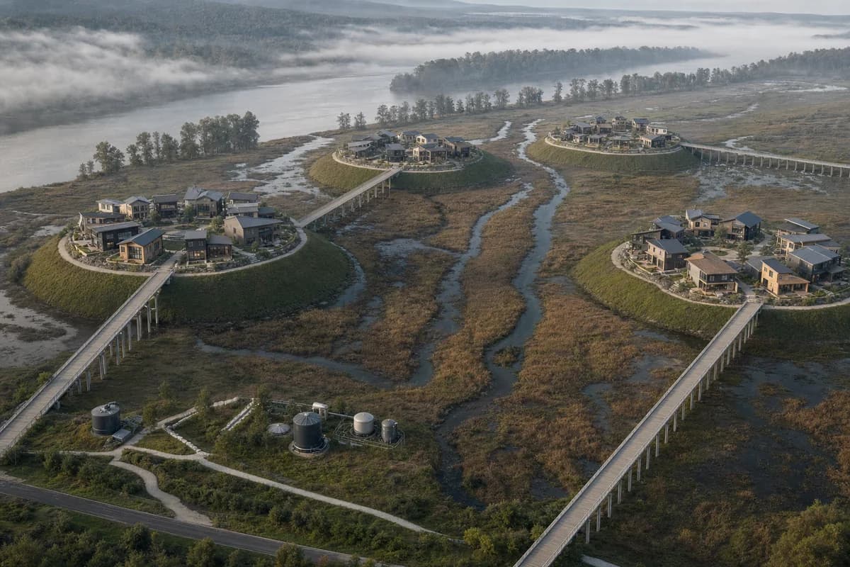
A neighborhood-scale housing concept organized around flood storage and compact dry ground.
Create a photorealistic aerial-oblique concept for forty homes on a seasonal river floodplain. Form four to five dense housing clusters, each concentrated on its own distinct dry mound, and connect every cluster to safe ground by a direct raised evacuation spine. Separate the mounds with broad, uninterrupted flood-storage bands and retained drainage channels, with shared utility nodes and no construction inside the active river corridor. Use river mist clearing under neutral morning light. Frame a restrained 70mm aerial-oblique view that shows the entire hydrological structure without a map-like top-down angle. Keep every visible circulation route, threshold, terrace, and room unoccupied so structure, envelope depth, and material transitions remain the sole subject. Keep pier spacing, direct evacuation routes, utilities, landscape gradients, and water movement plausible. No resort cabins, decorative meandering boardwalks, fragmented flood-storage bands, untouched-nature fiction, boats as props, overbuilt common ground, or masterplan graphics.